What Is RTK GPS Utility Mapping?
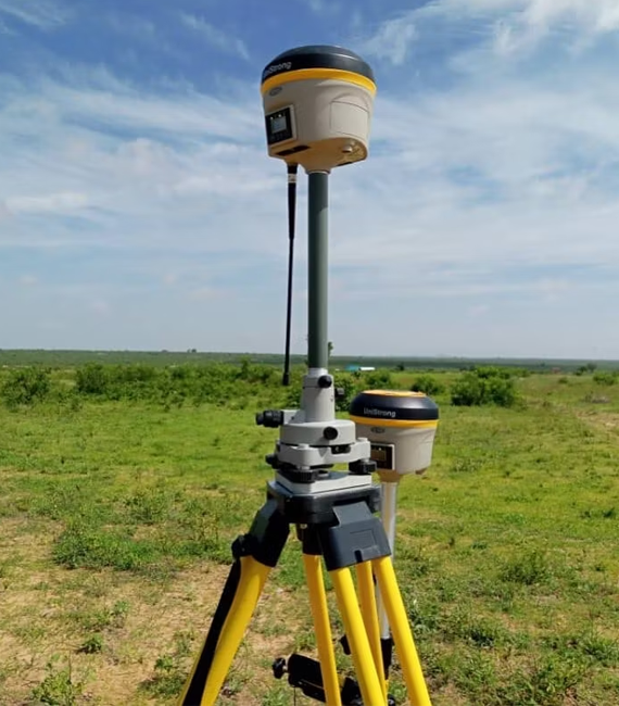
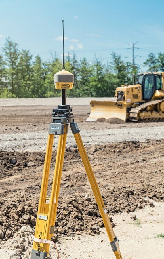
RTK GPS utility mapping is the process of locating buried utility lines and then capturing their exact position with survey-grade GPS equipment, rather than relying on flags and paint alone. Every point — a bend in a gas line, a splice in a fiber run, the corner of a septic tank — is logged with coordinates you can reuse.
We map:
- Private electrical, gas, and propane lines
- Water, irrigation, and septic infrastructure
- Communication and fiber optic cable
- Storm drainage and unknown underground structures
- Public/private utility crossings on larger sites
The output isn’t just a marked yard. It’s a dataset:
- Exportable point and line data (KML, shapefile, or CAD-ready formats)
- A PDF site map showing every located utility relative to structures and property lines
- A permanent digital record tied to the property, not to memory